Digital Terrian Model
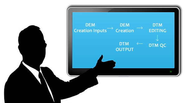
The Digital Terrain Model (DTM) plays an important part in the production of geo-referenced orthophotographs.Acuvec conforms to the proper usage of hard and soft breaklines in all its DTM editing assignments. This produces a very good terrain representation resulting in superior quality orthophotos. A sufficient amount of height information is gathered from the photogrammetric restitution of spot heights and breaklines in aerial photos (vector data) or from laser scanner mapping to acurately generate the Digital Terrain Model (DTM).
Using the photogrammetric software a dense point cloud of heights is generated in multi images through automated elevation collection (correlation). The results are verified manually by using powerful editing tools. Elevation points on man-made structures or vegetation can be eliminated and gaps filled. As a final step the DTM is generated.

